Map
Photos
Event Description
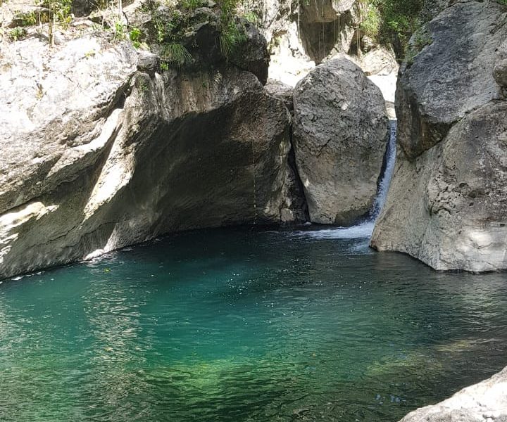
A rural Hash. We are back to rural Jamaica. Forest path, trails, the Swift river running, and local coffee farmland.
Hash Details
Chicken, Rice and Peas, perhaps vegatables. 2nd meal awaits (possibly!)
$600JA
Helping Hands, Road Runner, Jason
Hash Directions
OK. Pay attention. The location is on the north coast, just past Buff Bay, and about 8km up the river valley. Journey time: about 1hr, 30/40 min. Take this advised route, and NOT the route that Google mapping may show. From Manor Park, Kingston, drive north (Junction Road) through Stony Hill, Golden Spring, Temple Hall etc. On the north coast, at the Robert Schumann roundabout, turn RIGHT. (head east). Pass through Annotto Bay into Buff Bay where you'll find a Texaco on your left hand side. About 3.5km from Buff Bay you must make a RIGHT turn, (off the main road) just after a bus stop structure on your right side. Hash sign hopefully! See this Google Pin reference to help locate, once you have followed the main directions of coming via Buff Bay. https://goo.gl/maps/BmgwkpFZsdsim9eRA See also this mapped route direction: https://drive.google.com/open?id=1j16kHQPp0Oad684uww9dn-X2edQsJoLT&usp=sharing
Pass through Buff Bay, still on coast road, towards Port Antonio.
After turning right follow the road for 8km (passing 'Life Span' on your right). Follow the river upstream, and cross a bridge in Skibo.
Continue straight, following the road for almost 3km into Chepstowe.
In Chepstowe, you turn RIGHT where there's a tyre in the middle of the intersection.
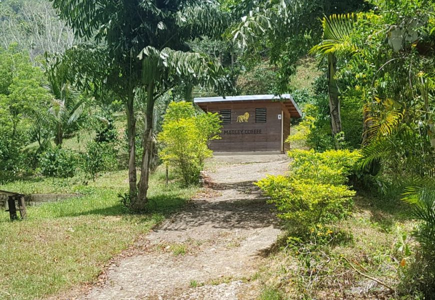
Follow this road, which turns into a track, for 800 meters and then make a left at the sign 'Marley Coffee'. You are at Marley Farm.
You go through the farm and will find the Run 541 parking spot.
Hash Extras
The Hash does not cross the river, but the Swift river is on the route and post Hash swimming/dipping is available. Bring your towels and insect repellent.
July 18, 2019
Helping Hands 876 381 3452
Visited 688 times, 1 Visit today


