Map
Photos
Event Description
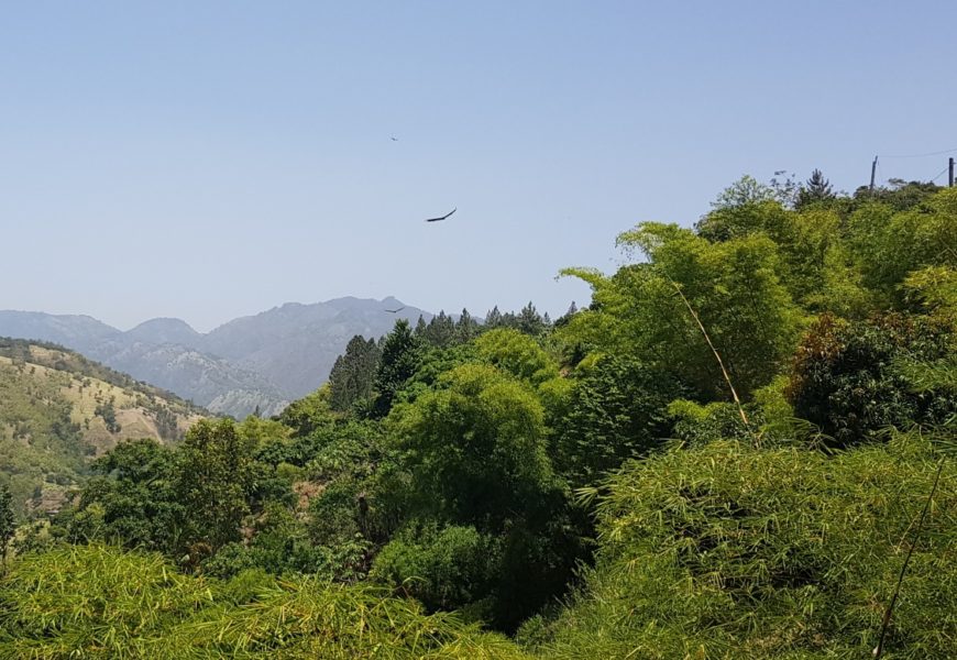
A rural hash in the foothills of the Blue Mountain range. Old trail route, and pathways. NB. It is uphill for first kilometre!, then it down hill and a local beer stop for those in need. Not so long. No rivers. Wonderful hillside views.
Hash Details
Stew chicken OR Jerk pork. Rice and Peas, vegetables
$600JA
Clueless Sherlock & Fareleak
Hash Directions
This is easy. About an 1hr, 30 min journey. We are going up the Yallahs river valley again. NB. It's the same direction as the recent Llandewey Hash (539), but it a little further past there. From Kingston, travel east along the coast, passing Harbour view, Bull Bay and Grants Pen. Continue on road and stay on it, going through Llandewey and Ramble. NB. Do NOT turn right at Easington, as some Hashers did on the recent Hash. Reach Ramble and cross two iron girder bridges, with wooden planking in quick succession. You will see JAH3 sign to park. Parking is on large open space, off the road. See Google pin ref:https://goo.gl/maps/ybBtmbjnpU73Bwvk7 See this helpful route map: https://drive.google.com/open?id=1Hyk-Zpg_w7cEpY_Q8cyy2stk3xbt4ghT&usp=sharing
Upon entering Albion, make a LEFT turn at the 'Coast to coast' quarry sign (the 'First and Last bar' is on the right).
From the left turn to the Richmond Vale community centre is 21.6 km.
Follow the road along the Yallahs river valley. (The river, dry or running is on your right side up to Ramble.)
Continue on this road; After crossing the Ramble bridges it's another 6.8 km to the Richmond Vale community centre (on the left).
Hash Extras
There are no rivers. Small stream running at Hash circle site. Bring walking sticks. Yes, it is a steep climb up, on track/old route. Local beer stop at top - if you make it! Down hill is through scrubland. On pathway. Children under 6? Perhaps not.
August 1, 2019
Clueless Sherlock 876 878 0270 & Fareleak 876 802 0276
Visited 365 times, 1 Visit today


