Map
Photos
Event Description
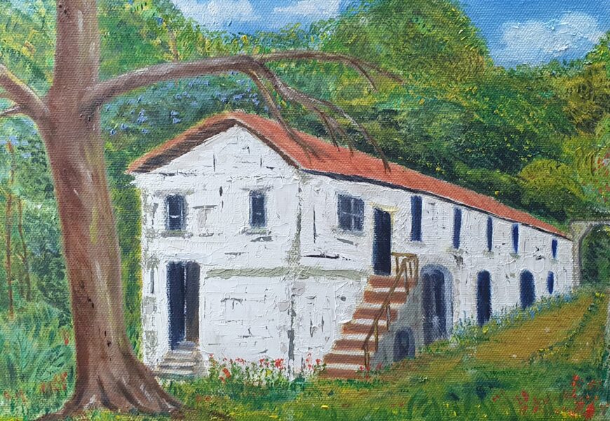
“Hashers!”. We are returning to Langley Great House (last visited Sept 2019, Hash 546) where we will start a 6km trail through a wonderful forest, and will circle a valley, which sits below Mt Airy. Invigorating, a little demanding, in one section, and fine views to the east and the Blue mountain range.
This is NOT a Kingston road Hash.
For those not wishing to complete the trail, enjoy the location, the Plantain river pool for a dip, and just relax with Hashers.
Hash Details
A meal will be available - chicken, rice, and rice and vegetables. Plus some fruit. Meal is $1500 Soup is Chicken foot. $200 per cup
$1500 for meal. $200 for soup
Clueless Sherlock, Never Screams,
Hash Directions
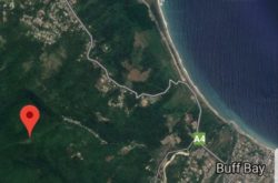
See this Google reference: https://maps.app.goo.gl/JCF4dhQuoNgYBmZ1A We are going to Langley Great House. Leave Kingston via Manor Park. It is about 35/40 minutes from Manor Park. Drive up Stony Hill road, and down the other side to Golden Spring, to where the road levels out. Turn RIGHT and cross over the bridge which spans the Wag Water river (low). The right turn is directly opposite the Total gas station which is on your left. Stay on the main driving road all the way to Langley House. The road initially goes up hill. You will reach Mt Pleasant community. Pass straight through. Pass the 7th Day Adventist church in the next community of Mt James. You descend and cross a small bridge and river, and pass through Mt James square. After passing through the square, the road bends right you will quickly reach a Y junction, fork in the road. Take the RIGHT fork. (The left fork goes down hill. Not for you!). The right fork starts to climb again for another 2km. You cross over another narrow road bridge (which is crossing the Plantain river) and eventually you will reach a large sign for Langley Great House. NB. The road is narrow in places, and windy. Use of car horn and caution is advised. At the Langely House sign, turn RIGHT and travel down the old, unpaved track to the House. The road is cleared and parking is at the bottom. Low level cars will not be suitable to drive down the drive. If you get confused (lost) just ask any person for Langley Great House. They will easily direct you. There are many people about in the communities you pass through.
Hash Extras
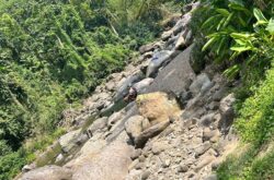
Ok Hashers. This trail is a farmer's trail. It climbs up to 1000' elevation, over about 2.5km, along a forest path. Last section is steep but manageable. The forest path is/will be cut/cleared. It is a circle, which then traverses, over another 3km, a wide pine ridge road and then descends through a sloped coffee field, and to Langley Great House. Please bring a level of fitness, lungs, walking stick and some mossie repellent.
June 20, 2024
876 878 0270 Hash Master
Visited 868 times, 1 Visit today


